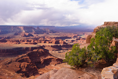
I have been to Moab, Dead Horse State Park, Canyonlands National Park, Arches National Park, Monument Valley, and Horseshoe Bend a number of times, but, on our current itinerary, had yet to visit Antelope Canyon. Mike, on the other hand, had not visited any of these places so it was a real treat for me to take him to some of the most beautiful country I have ever seen. The first place I took him was Dead Horse State Park where we got to share this view.
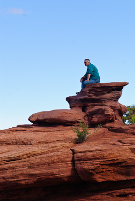
Mike marveling at the views from the Dead Horse Point overlook.
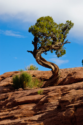
This part of Utah offers many photo opportunities beyond just magnificent landscapes.
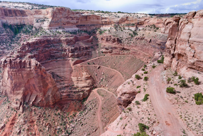
After leaving Dead Horse State Park we drove the 10 or so miles to the Islands in the Sky District of Canyonlands National Park. This "district" of Canyonlands National park is a large, triangle shaped mesa that towers 1,000 feet above the Colorado and Green rivers that border it (map).
This is a picture of a backcountry road known as the Shafer Trail. It descends off the Islands in the Sky mesa and down to the Colorado river valley below. The Shafer trail is also part of the White Rim Road that loops around the Island in the Sky mesa and is a spectacular 100 mile mountain bike trip that Lisa and I had the pleasure of riding a few years ago.
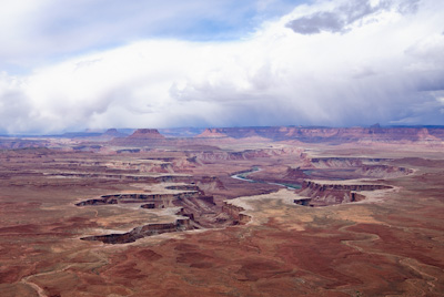
Looking west with views of the White Rim Road and the Green River far below.
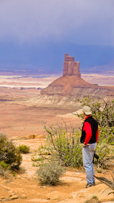
Mike took this picture of me with Candlestick Tower in the background. At the base of Candlestick is one of the camps we stayed at when biking the White Rim back in 2007.
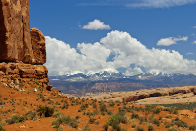
After leaving Canyonlands we made our way to Arches National Park. There are a lot of photo ops in Arches like this one with the La Sal Mountains in the background.
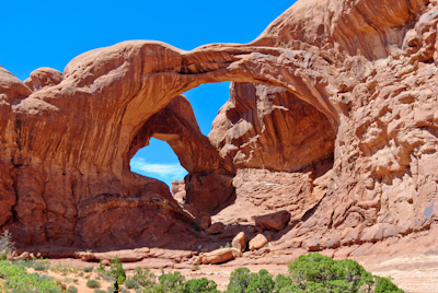
Double Arch in Arches National Park.
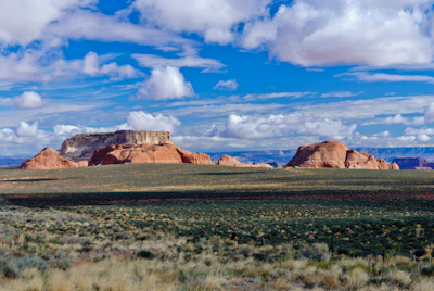
After a whirlwind visit through the spectacular country around Moab, Utah, we headed south through Monument Valley and into Arizona. This is a picture of some of the great views taken from the highway that passes through Monument Valley.
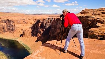
Mike took this picture of me taking a picture of the Colorado River making it's way through Horseshoe Bend.
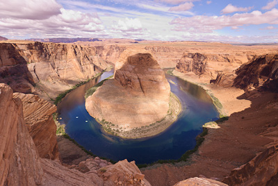
The picture I took of Horseshoe Bend.
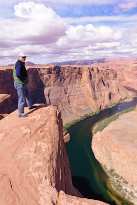
Mike standing on the edge of the Horseshoe Bend overlook.
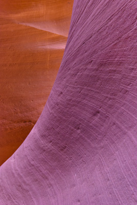
Our last stop before heading back to Nevada was to see Lower Antelope Canyon. I've taken a few pictures and visited quite a few slot canyons, but Antelope Canyon is one of the best, if not the best canyon to take pictures in. It is a bit different than other canyons we've walked through because it really is a bit of a tourist trap on private land that you have to pay an entrance fee for a one hour visit with a guided group. That said, when Mike and I showed up with a DSLR camera and tripod we were seen as "professional" photographers and given a photo pass. We still had to pay the entrance fee, but were now on our own and had 2 hours to enjoy this beautiful canyon.
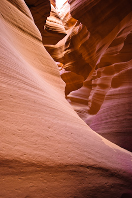
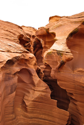
Sculpted sandstone.
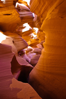
Between the color of the sandstone, the way it's been layered and eroded, and the way light falls on it makes Antelope Canyon a real visual treat. The challenge is figuring out how to capture it.
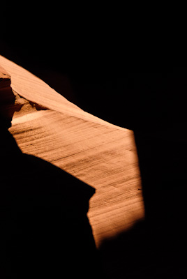
We found that the best time to visit Antelope Canyon was about 10 in the morning when the sun was high enough to fall into the narrow slot.
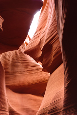
The "Joker".
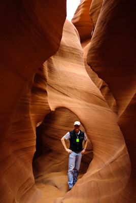
Mike took this picture of me about half way through Lower Antelope Canyon.
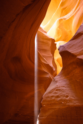
Waterfall of Light
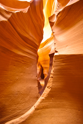
I will be back to this canyon and next time better prepared to take advantage of the photo opportunities.
The exit of Antelope Canyon.
Overall this was a great trip through some spectacular country with a lot of windshield time with a good friend. It was very good to return home and reunite with my wonderful family and share the stories of this whirlwind trip.