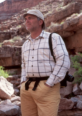
Dan with camera for a hike up Slickhorn Canyon.
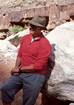
My friend Kim Kelsey.
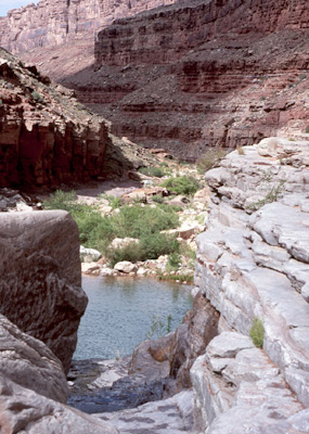
Leaving the San Juan.
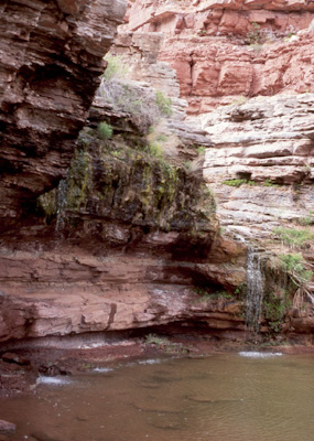
A pretty little stream runs through Slickhorn Canyon cascading off multiple limestone cliffs, forming a pool, and then doing it again.
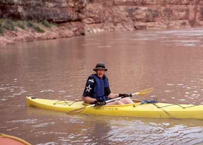
Back from our hike we headed downriver about 4 miles to Grand Gulch paddling through a storm with rain, hail, and lightning. Although it made me a little uncomfortable, it was beautiful.
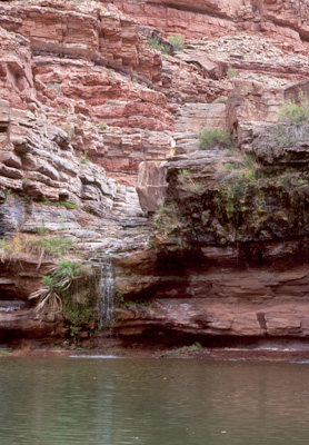
Water flowing from a side canyon after the rain.
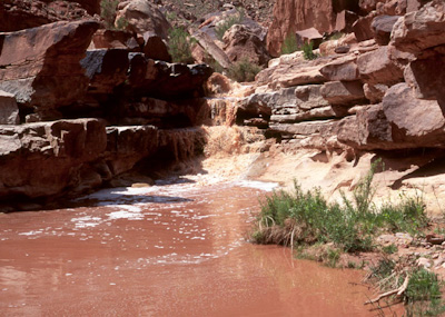
Arriving at Grand Gulch we found it running a fairly strong, red stream of water from the thunderstorm.
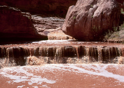
There were great waterfalls like this everywhere.
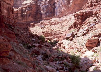
Like Slickhorn Canyon, Grand Gulch was beautiful but in a different way. It was a much larger, red canyon with towering cliffs and rushing waterfalls, where Slickhorn was more tranquil (at least when we were there) with enclosed limestone grotto's.
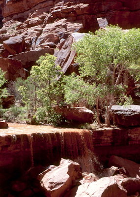
Although the waterfalls we were enjoying were because of runoff, it was apparent that this one was quite mild compared to others before that left rocks as big as houses in the streambed.
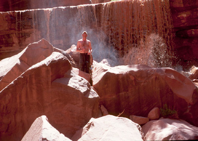
Only Earl and I hiked up Grand Gulch because we weren't sure of how much rain had fallen in the large area that feeds into Grand Gulch and the potential for a flash flood. We only went up a mile or so to this waterfall that Earl is standing in front of.
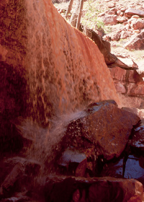
This is the same waterfall that kept us (without technical gear) from going further up Grand Gulch.
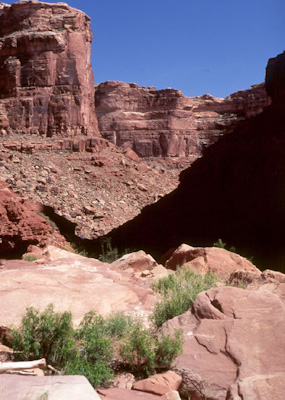
The spectacular view down Grand Gulch.
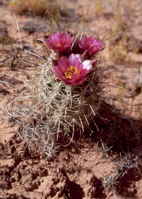
A hedgehog cactus in bloom.
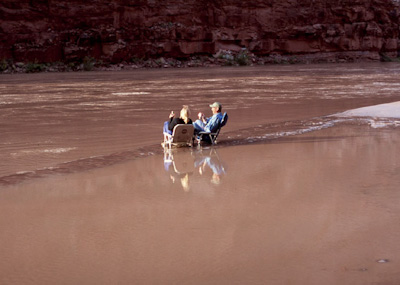
Our last camp was a marginal because most of the beaches on this stretch of the river are drowned under Lake Powell. Here Lanie and Earl enjoy "beverages" and laughs on the small spit of quicksand that fronted our camp.
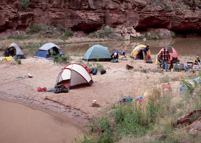
Mr. Coffey was not too impressed with our camp the evening of the 27th. He fondly called it "Lake Tittywhappa".
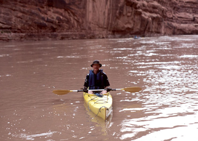
After another restful night on the banks of "Lake Tittywhappa", I paddled the remaining eight quiet miles to the Clay Hills takeout. This section of the river is beautiful with its high, towering, red wall canyon, but it is really silting in because it is more-or-less at the elevation as Lake Powell. Who knows how long this stretch will remain navigable.
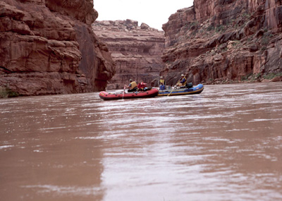
River trips are the best; good friends, all (most) of the comforts of home, and none of the busyness of everyday life.
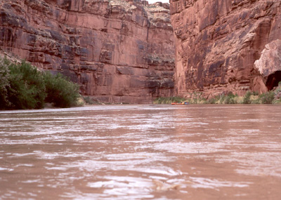
Everything seems to make a lot more sense in a place like this.
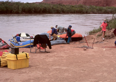
For me the takeout is the low point of any river trip. The fun seems to be over, everything needs to be cleaned up, the "fun machines" are taken apart; but mostly because it's time to say goodbye. On the upside, it's also the time to start talking about the next one.
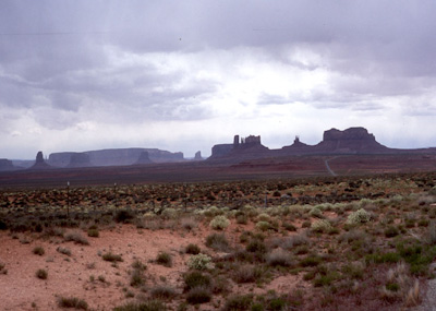
And on the 450 mile drive back home through beautiful country like this I had plenty of time to think and dream about it.
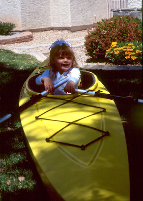
Then, when I get back home and the kids attack the kayak, I know it won't be long and they'll be joining me. Good days ahead.....