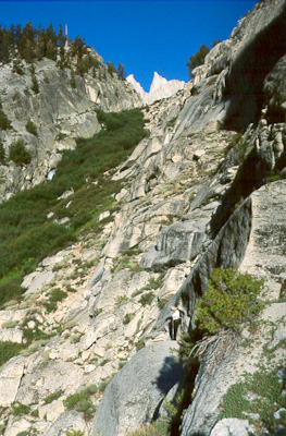
The approach up the North Fork of Lone Pine above the Ebersbacher Ledges and before Lower Boy Scout Lake
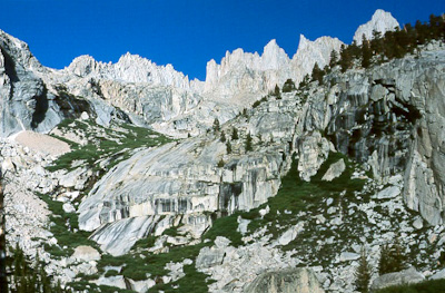
Looking west above Lower Boy Scout Lake
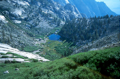
Looking back at Lower Boy Scout Lake
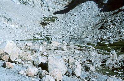
Upper Boy Scout Lake
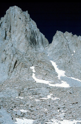
The Mountaineers Route
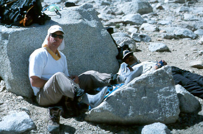
Relaxing at Iceberg Lake before the final push to the top
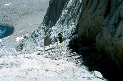
Up the Mountaineers Route
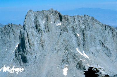
Mount Russell to the North
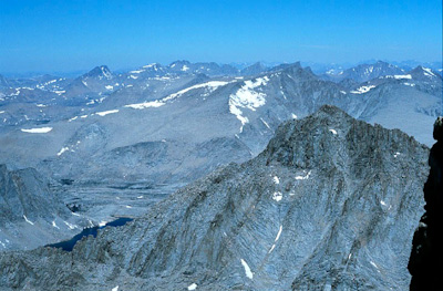
Looking North at the High Sierra
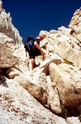
Pushing over the final summit blocks to the top
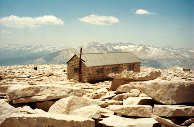
The Smithsonian Summit Hut at the top of Mount Whitney. Finished on August 27, 1904, this hut was built by the Smithsonian Institute to study solar radiation.
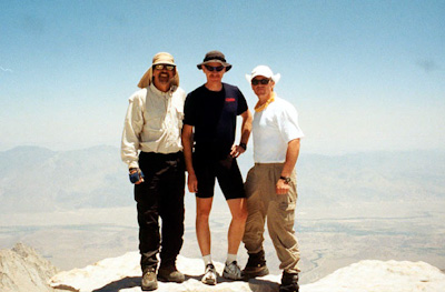
Rick, Bob, and Steve on top
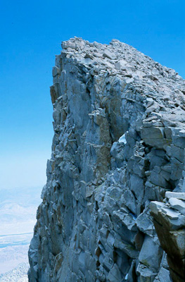
Keeler Needle
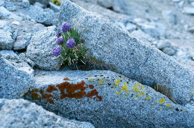
Sky Pilot -- a wildflower that only grows in the harsh environment of the Sierra Nevada above 10,000 to 12,000 feet.
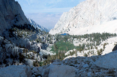
Decending the normal route with a view of Outpost Camp and Lone Pine Lake
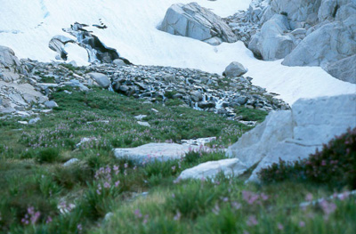
Snow still thawing to water spring flowers
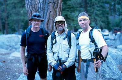
Back down after 13 hours. What a great day.