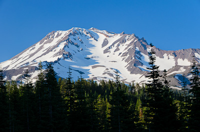
Beautiful 14,162 foot Mount Shasta. Back in 2000 Lisa and I made a two day climb up the standard Avalanche Gulch route. We overnighted at Helen Lake where Lisa, being four months pregnant with Hannah, decided to stay while I continued on to the summit and back the following day. This year, while visiting our good friends the Novak's who live near the mountain, I had another chance to climb it. Michael Novak, who I'd climbed Rainier with in 2009, was jazzed to join me so he, and two of his friends Erica Spone and Nick Johnson, rounded out a nice team of four.
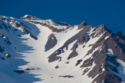
As before, we decided to climb the standard Avalanche Gulch route, but this time we planned on doing it in a day. This is a picture of the upper section of the route below Red Banks. If you look closely you can see the glissade trail that marks the route. With the great weather we were expecting, there was no reason to worry about getting lost on this climb.
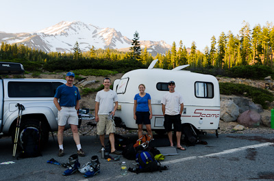
Our team the evening before our climb sorting gear and preparing to crash early in Michael's little Scamp trailer before our 1:30 a.m. start.
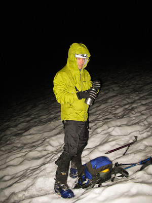
Michael somewhere high on the slopes of Mount Shasta early in the morning of July 29th.
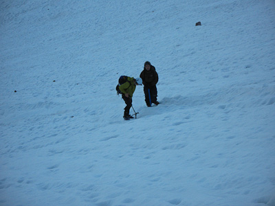
Michael and Nick at an elevation around 12,000 feet.
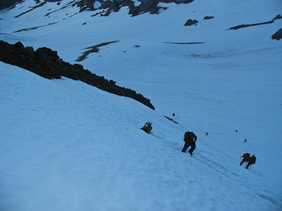
Other climbers coming up behind us near a feature know as "The Heart".
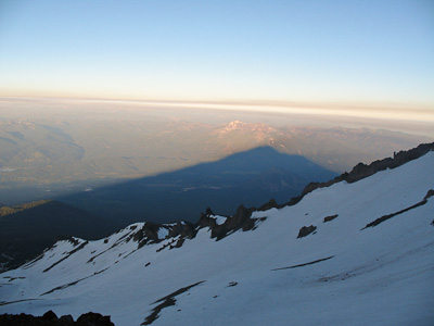
The mountain's shadow as the sun came up.
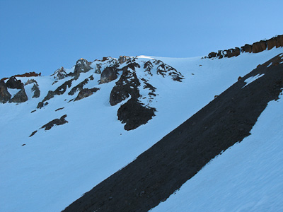
Sunlight showing on the Red Banks ridgeline.
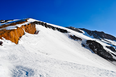
Looking up from Red Banks to Misery Hill. A couple of climbing teams can be seen in the upper left of the picture.
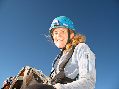
Erica taking a break above Red Banks.
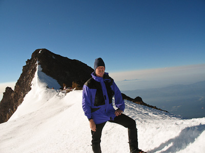
Michael took this picture of me on the Red Banks ridgeline. Thumb Rock is behind me.
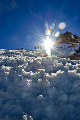
Michael took this excellent picture of climbers approaching Shasta's summit just as the sun was coming up.
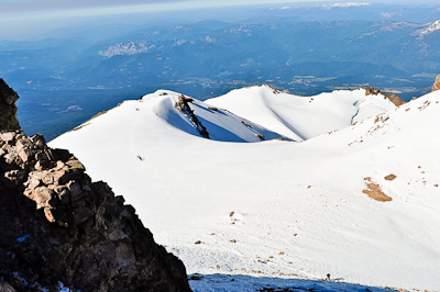
Looking west from Shasta's summit to Shastina, a satellite cone of Mount Shasta, and the town of Weed far below.
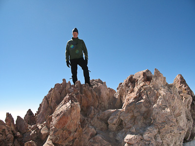
On the summit of Shasta (14,162 feet).
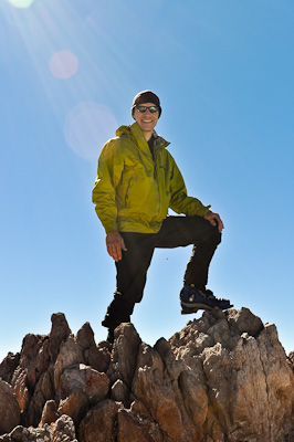
One of Michael's summit shots.
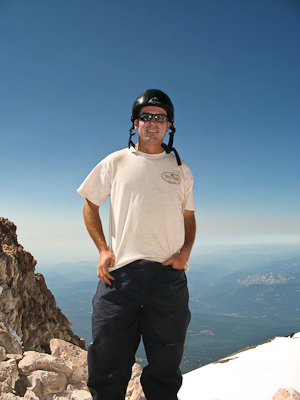
Nick's summit shot. Nick works as a backcountry trail supervisor for the California Conservation Corps. He told me he can see Shasta from his office and climbing it is something he's always wanted to do. Now he can say that he has and knows exactly what it looks like from the top.
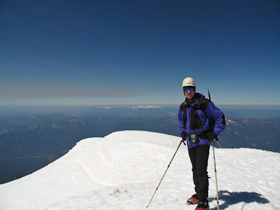
On the way back down.
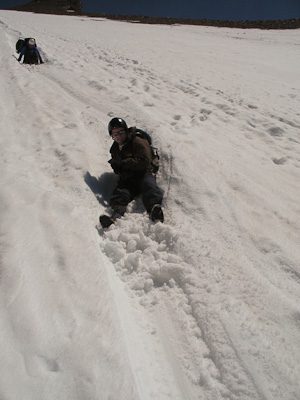
In all it took us a little over 12 hours to summit and return to the Bunny Flat Trailhead, a gain and loss of over 14,000 feet. Part of what made it easier is that we glissaded roughly 2,500 feet from Thumb Rock to Helen lake. Nick had never glissaded before and really enjoyed it.
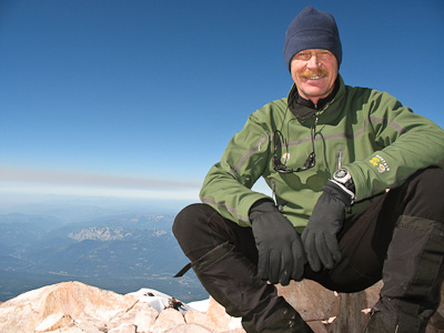
This year's Shasta climb was a lot of fun and I hope to do it again soon.