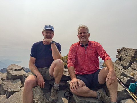
Early this fall Bob's best friend, Mike Brunson, was in town on business and extended his stay to spend a little time doing what they both really enjoy, each other and the great outdoors. Both being new to Northern Nevada they opted to do one of the classic hikes in the region to the summit of Mount Rose just outside of Reno.
Mount Rose, at 10,776 feet, is the second highest mountain in the Tahoe Basin and rises more than 6,000 feet above Reno which is only about 10 miles away as the crow flies. In total the trip to the summit and back is a little over 11 miles long with a gain and loss of around 2,600 feet.
At a leisurely pace (with a little geocaching along the way) it took Mike and Bob about three hours to make it to the summit for this picture.
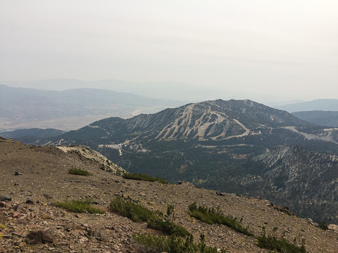
The only downside of this hike was all the smoke from forest fires just across the border in California.
In this picture, looking to the southeast, you can see the Mount Rose Ski Resort and the Washoe Valley beyond.
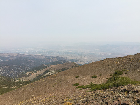
Looking to the northeast through the smoky haze you can see the outskirts of Reno.
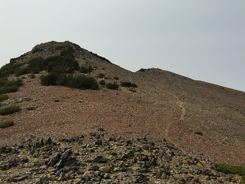
The trail leading to the summit of Mount Rose from the east.

A panorama view to the east from summit of Mount Rose.
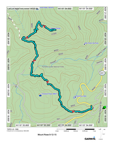
Click this image for a topo/route map of our trip.
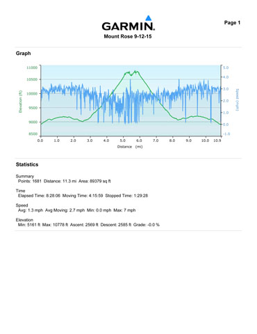
And click this image for the stats of our trip.