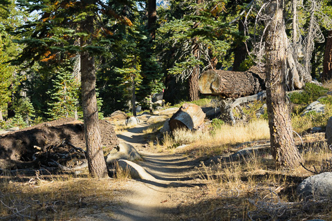
On September 3rd our family headed up the trail for the 10.5 mile hike to and from the summit of Freel Peak. Freel at 10,881 feet is the highest peak in the Carson Range and a hike we all wanted to do as a family after Bob had done it last year with our good friend Steve Hamilton.
To get to the trailhead we drove from our home in Carson City to Minden and then took highway 88 to Picketts Junction where we turned on Highway 89 (The Luther Pass Road) for just a couple of miles and then turned right on the Armstrong Pass Road (Forest Road 051) and drove another 3-4 miles to the parking lot where the trail begins. For a map that includes the driving route, click here. For a map and stats of the hike, click here.
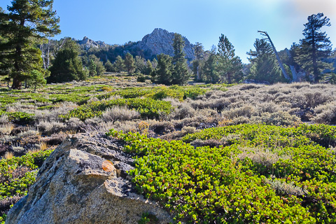
The trail winds through beautiful forest and open meadows and in about a mile intersects with the Tahoe Rim Trail at Armstrong Pass. From there you hike about three miles towards Star Lake and enjoy incredible views of Lake Tahoe and all the surrounding peaks.
Once you arrive at the pass between Freel and Trimmer Peaks there is a signed, one-mile trail that leads to the summit of Freel.
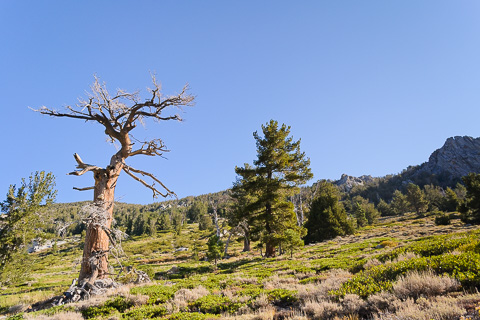
Open meadows along the Tahoe Rim Trail.
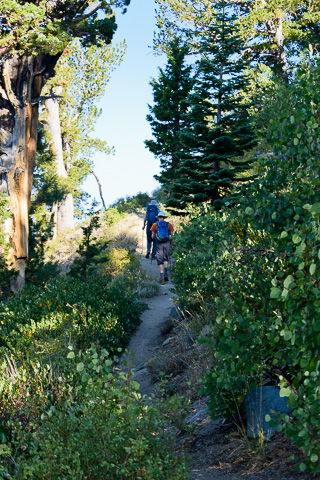
Hannah and Caleb taking the lead.
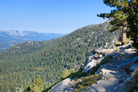
Amazing views along the Tahoe Rim Trail as Lake Tahoe starts to come into view.
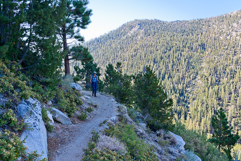
Lisa coming down the trail with Armstrong Pass in the background.
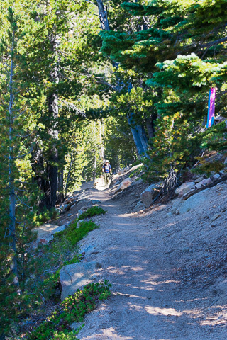
Lisa coming up the last long switchbacks as she nears the saddle between Trimmer and Freel Peak.
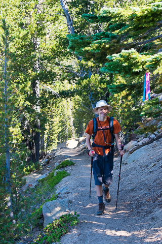
Caleb has become a great hiker.
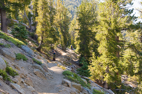
The Tahoe Rim Trail is really really great and we are so thankful to have it in our backyard.
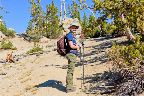
Our beautiful Hannah enjoying her time in the hills.
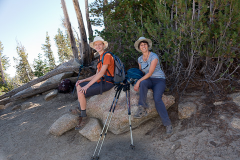
Caleb and Lisa taking a break in the saddle between Trimmer and Freel Peaks.
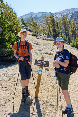
Caleb and Hannah all smiles before taking on the last mile and 1,200 feet of climbing to the summit of Freel Peak.
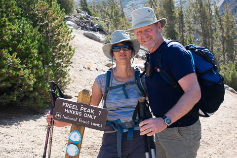
Still hiking together and enjoying every step.
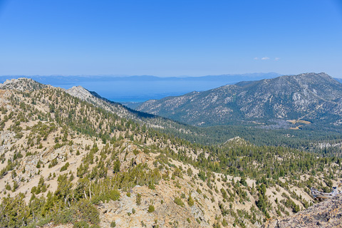
Great view of Lake Tahoe from the Trimmer/Freel saddle.
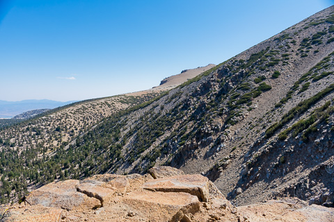
Looking to the east towards Jobs Sister on our way to the summit of Freel Peak.
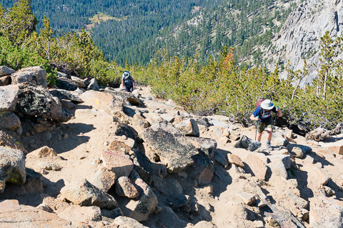
Hannah and Lisa coming up the narrow switchbacks at treeline (around 10,000 feet).
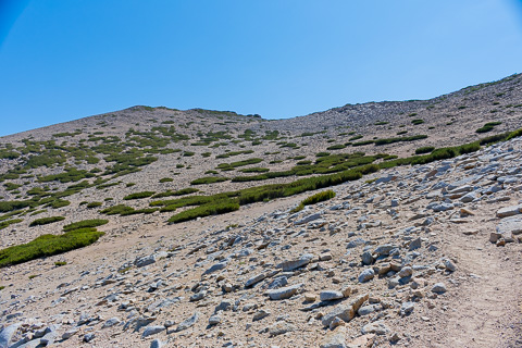
Once passing through treeline the trail opens up through the alpine zone where you can see the summit of Freel in the distance.
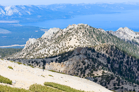
Making our way up through the thin air above 10,000 feet.
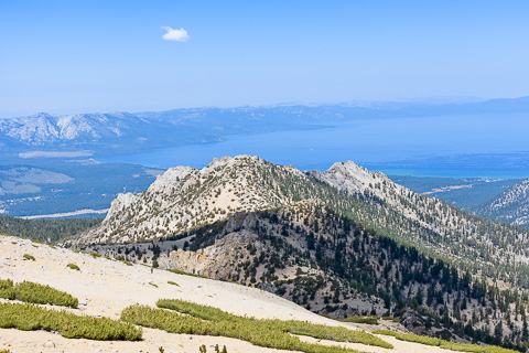
Beautiful views of the Southern Tahoe Basin.
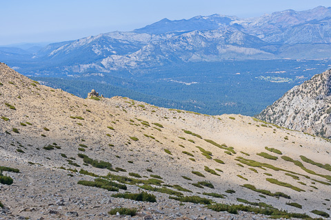
Lisa, Hannah, and Caleb very small in the beautiful expanse.
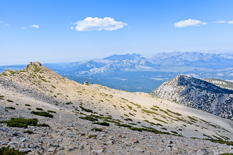
Looking to the west to the Desolation Wilderness.
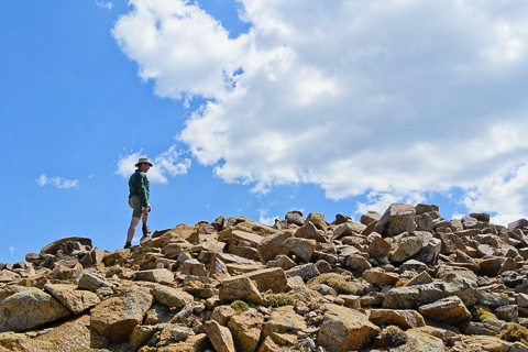
Bob approaching the summit.
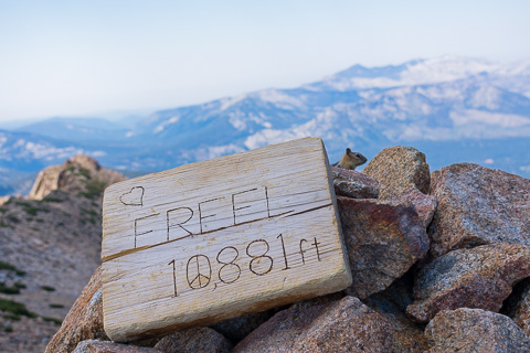
The sign on the top of Freel Peak.
If you look closely you can see a chipmunk enjoying the summit with us and no doubt hoping for a free snack.
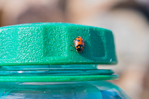
We were also joined by dozens of Ladybugs on the summit as they were migrating.
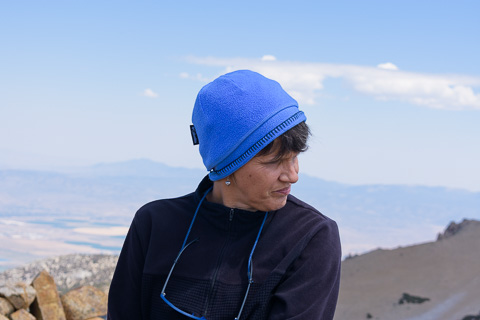
Lisa enjoying a wonderful time on the summit.
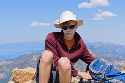
Caleb taking a well deserved break on the summit.

Bob enjoying the summit and handing out lunch.
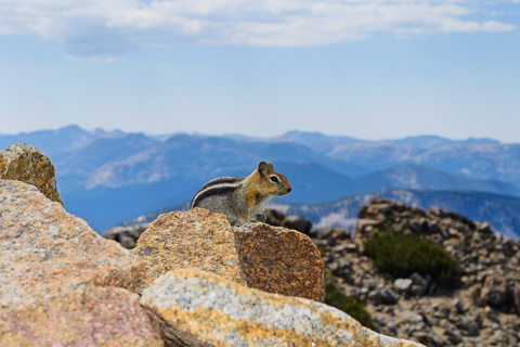
Our cute summit companion.
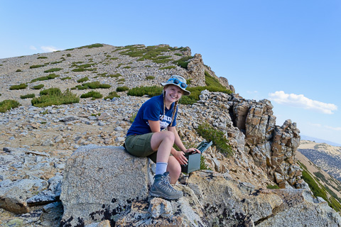
While on the summit we did a little geocaching where we found this one called "I Freel Good."
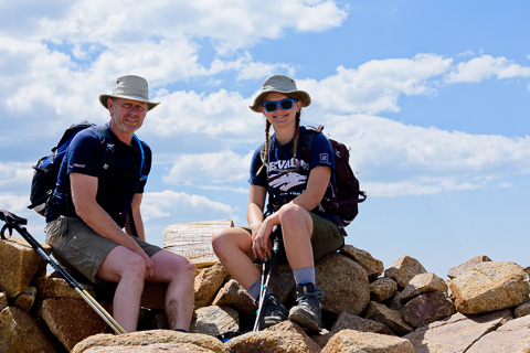
Bob and Hannah enjoying some father and daughter time.
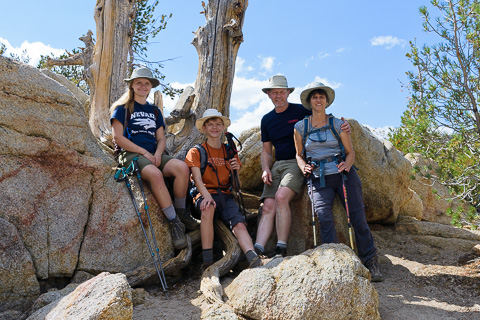
Our GREAT Family.
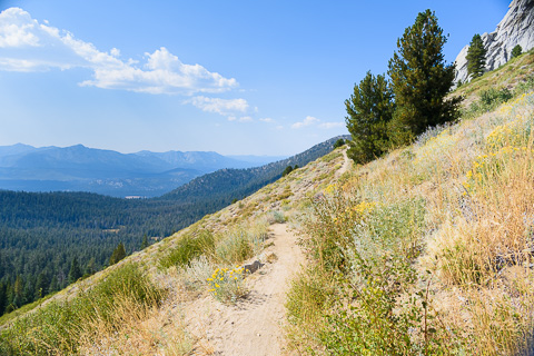
The trail back down to the truck was really special and magically beautiful.
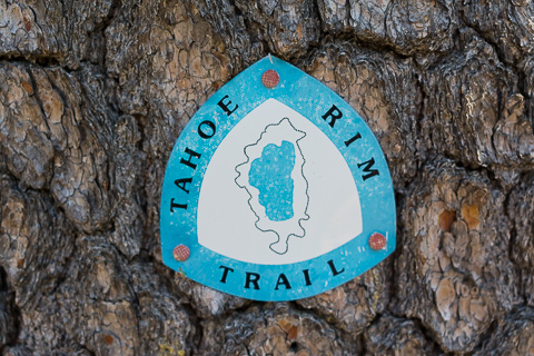
Another great hike on the Tahoe Rim Trail!