
Back in 2011 my good friend Mike Brunson and I spent a spectacular week canyoneering and site-seeing through the amazing red rock country of Southern Utah and Northern Arizona. Because it was such a great experience we always had plans to do another version of that trip and we finally got our chance this spring.
In total, it was a whirlwind adventure putting on over 1,100 miles in eight days driving through Zion National Park, Bryce Canyon National Park, Grand Staircase-Escalante National Monument, Capital Reef National Park, Arches National Park, Canyonlands National Park, Glen Canyon National Recreation Area, and Natural Bridges National Monument. It was an amazing trip, completely off-the-grid, and full of shared adventure between two very good friends.
Click here to listen to a recording (11:27) of me reading my daily journal entries made on this trip.
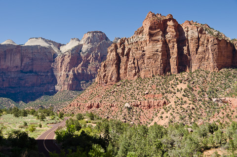
On Saturday morning April 14th Mike picked me up at the Las Vegas airport for the first leg of our adventure to Zion National Park. Our first stop when getting there was to pick up our Mystery Canyon permit at the Visitors Center and to find a campsite. As it turned out all the campgrounds near the main entrance were full, so we headed through the park to camp near the east entrance where sites were available. This actually worked out quite well because it was really crowded at the main entrance and we could finish the day's drive going through the amazing scenery of Zion.
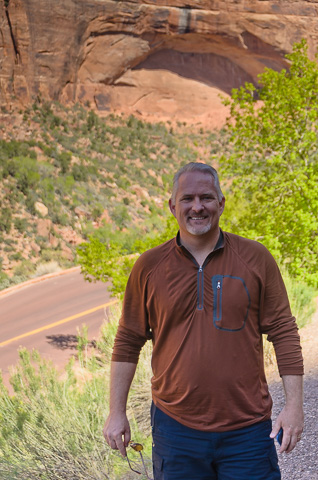
Mike Brunson happy to be on vacation, happy to be in Zion!
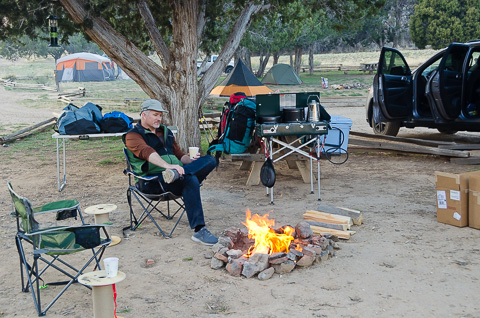
Mike enjoying camp up on the East Mesa of Zion Canyon.
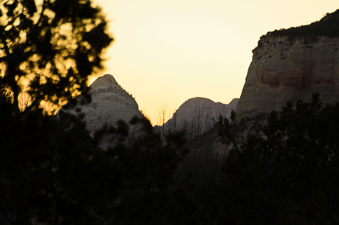
Sunset in Zion.
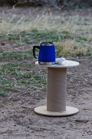
Early on the morning of the 15th we got up, had breakfast, and loaded all the gear we'd rigged up the day before for our adventure through Mystery Canyon. This was a trip we were both really looking forward to, as it had been almost six years since the last time we had been down this canyon together.
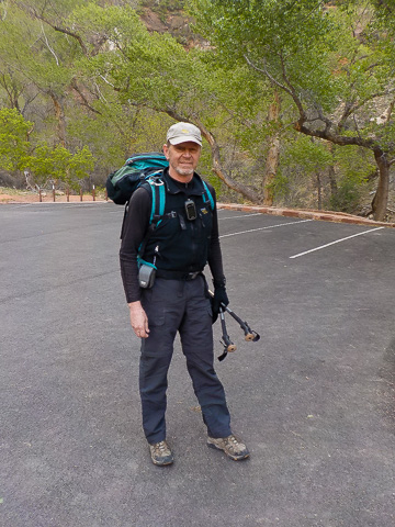
Bob at the Weeping Rock trailhead for the five mile, 2,000 foot elevation gain, hike past Observation Point to the drop-in point into Mystery Canyon.
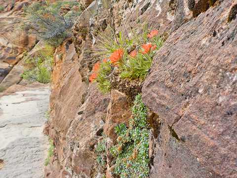
Indian paintbrush along the trail.
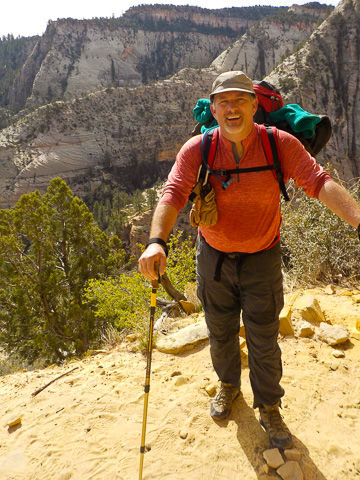
Mike hot and tired, but happy.
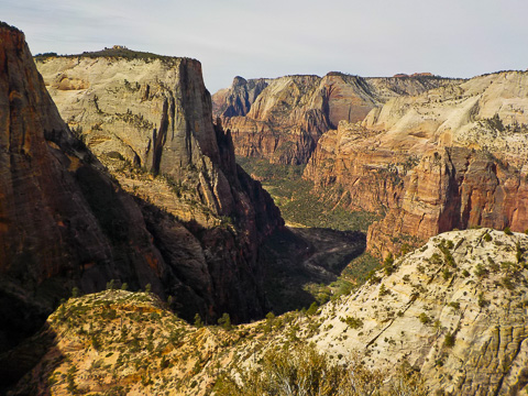
The view of Zion Canyon from high on the Observation Point trail.
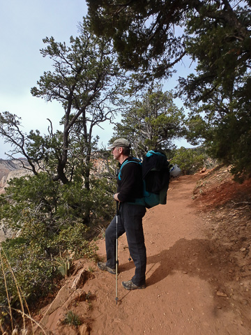
So great to be on this trail again.
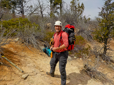
Mike getting ready to drop into Mystery Canyon. In all, this section is the worse and fondly known as "Death Gully" because it is steep and loose with plenty of opportunity to slip, fall, and get beat up.
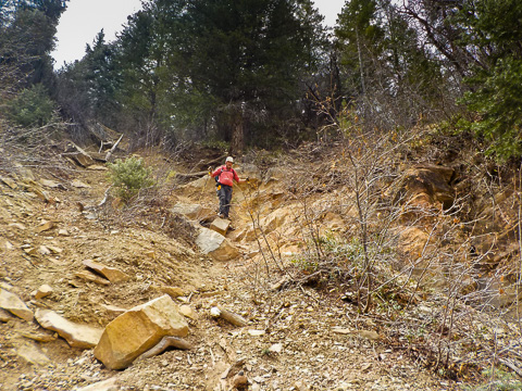
Mike making his way down Death Gully.
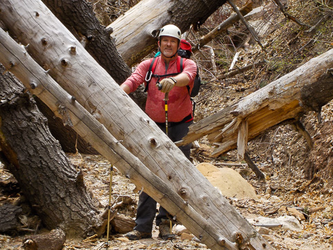
At the bottom of Death Gully; now the fun begins.
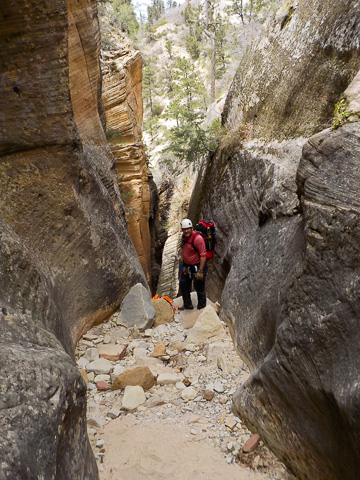
At the first of roughly 12 rappels.
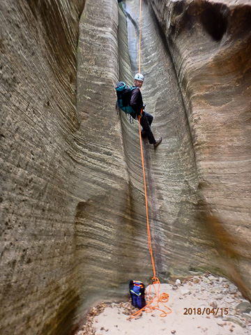
This is at least the 5th time we've been through Mystery and we were both surprised at how dry it was this early in the season. Generally, this time of year there's water at the bottom of these drops.
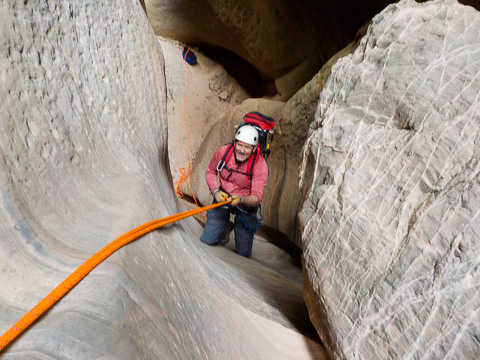
Mike not thinking about work at all.
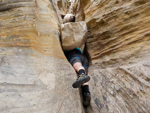
Part of the fun of canyoneering; squeezing through tight places...
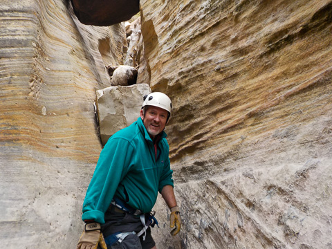
...and happy to be through them.
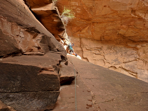
There are really only two long rappels in Mystery Canyon; both near the end and both fun. The first one drops you into Mystery Springs and to set up the rap you have to clip in and walk out on this fairly exposed ledge. Mike took this picture of me out on the ledge where off to my right it drops off about 120 feet.
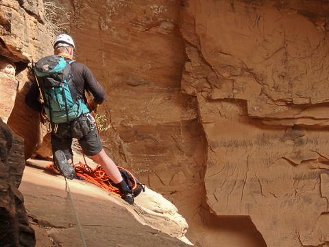
Setting up the Mystery Springs rappel...
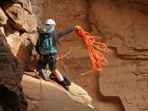
...and throwing the rope. Pictures like this capture the essence and best part of trips like this.
The last rappel in Mystery drops 110 slippery feet down Mystery Falls into the Virgin River. From there it is a short one mile hike in the river through the main Zion Canyon to the Temple of Sinawava trailhead. This is a video clip Mike took of me making the rappel.
Mike rapping down through Mystery Falls.

After a great day in Mystery Canyon we got up early on the morning of the 16th to make our way through Zion, Bryce, and the Grand Staircase-Escalante (where Mike took this panorama) on our way to Hanksville, Utah. The circuitous route we ended up taking was really beautiful and a great way to recover after our adventure in Mystery Canyon.
We had planned on driving through Zion and directly to Bryce, but there was a huge traffic jam in Zion, so we took the overland route from Springdale to Rockville, past Gooseberry Mesa and into the Arizona strip. From there we turned back north past the Coral Pink Sand Dunes and on to Bryce.
We didn't spend much time in Bryce because we wanted to take the scenic route through the Grand Staircase-Escalante National Monument, to Boulder Utah, and down the Burr Trail. In all it was a spectacular 280 mile drive through some of the most remote and beautiful country in Southern Utah. For a map of our route, click here.
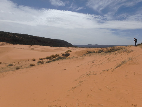
The sand dunes in Utah's Coral Pink Sand Dunes State Park.
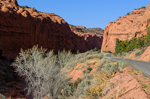
Making our way down Long Canyon on the Burr Trail Road.
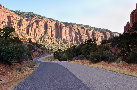
Another view of Long Canyon and the Burr Trail Road.
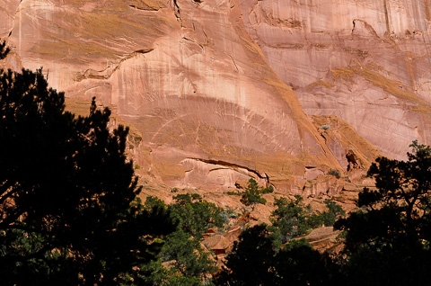
The sheer and colorful walls of Wingate sandstone in Long Canyon.
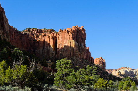
This was an amazing drive in country rarely visited.
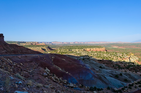
Looking down into the western boundary of Capitol Reef National Park.
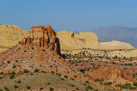
Peek-a-Boo Arch.
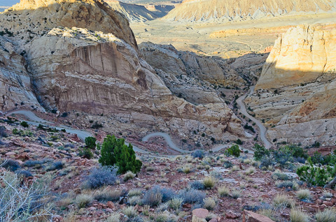
The Burr Trail as it winds its way down through the Waterpocket Fold.
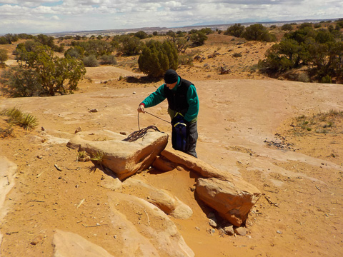
Mike flaking out rope before making our descent through Bluejohn Canyon on April 17.
Bluejohn is in Robbers Roost area of southeastern Utah and has been on our bucket list for some time.
The Robbers Roost area is riddled with canyons and was a popular outlaw hideout in the days of the Old West made famous by Butch Cassidy and the Wild Bunch gang. In recent years Bluejohn has become well known because of the near death experience of Aron Ralston as written about in his book Between a Rock and a Hard Place and later made into the movie "127 Hours".
Bluejohn is a long canyon and we never did enter the lower section of the main canyon where Ralston had his accident. Instead we descended through the upper section which is narrower and more technical than the lower portion.
The last time we tried to descend Bluejohn we were weathered out, but this year it was a perfect day for us to make our way through this remote and beautiful canyon.
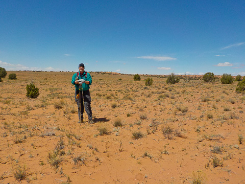
Mike making his way across the flats from where we parked to the canyon put-in.
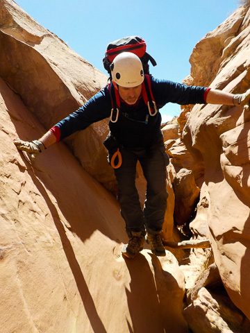
The first scramble into Bluejohn Canyon.
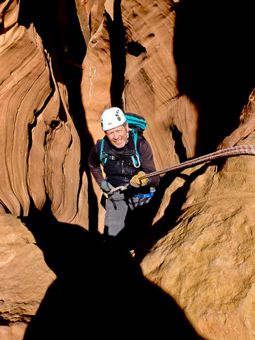
Bob on rappel.
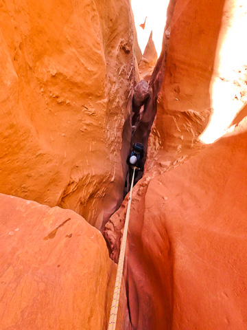
Bluejohn is a very tight, deep and dramatic canyon.
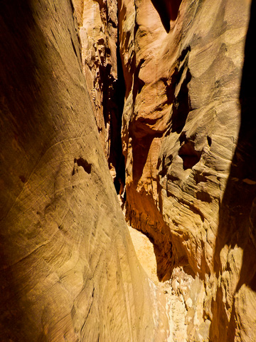
Looking back up-canyon about a half-mile after dropping in. This shot shows how narrow this canyon is.
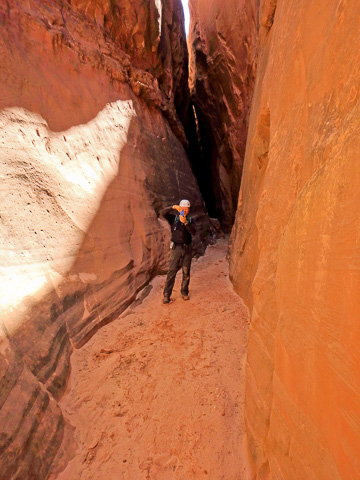
Mike taking a picture of Bob taking his picture.
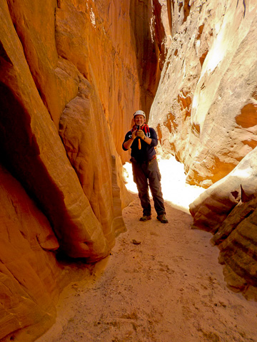
Bob taking a picture of Mike taking his picture.
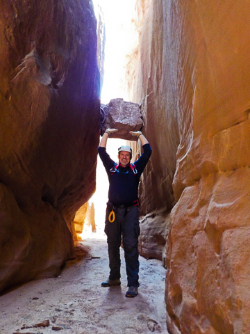
And goofing around some more.
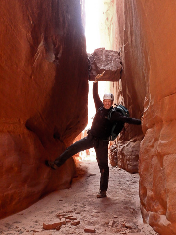
Bob can do it with only one arm and leg (there's a bad joke in there somewhere).
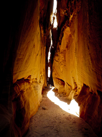
Bluejohn is a wonderful canyon and no doubt it would be crowded if it weren't so remote.
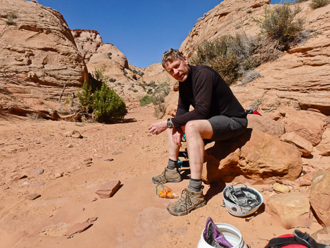
Taking a break after exiting Bluejohn Canyon.
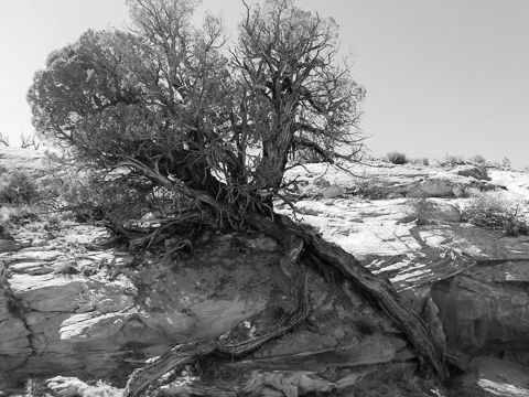
A black and white of a hardy Juniper growing up out of the canyon, but still drinking from the occasional flows that come down.
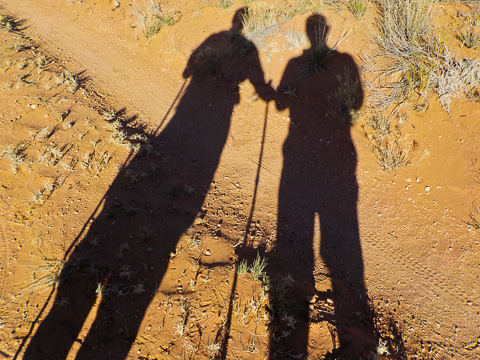
Long shadows at the end of a really great day.
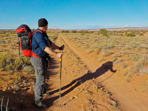
Looking back at a great memory.
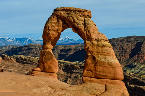
After leaving the Robbers Roost area on the 18th, Mike and I decided to go on a road tour to see a bunch of great country and spend windshield time together. One of our first stops was Arches National Park.
We were very fortunate because there's only one small campground in the park that books up months in advance, but someone canceled at the last minute and we showed up just in time to take their space. This set us up to do a number of hikes in the park including the one to Delicate Arch pictured here.
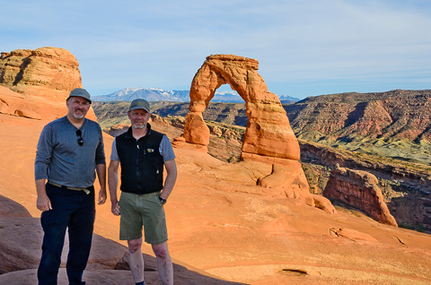
Good friends at Delicate Arch.
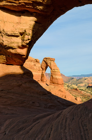
A picture of Delicate Arch taken through another arch. There are over 2,000 documented arches in Arches National Park.
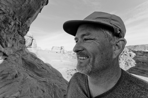
Having fun!
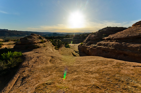
Hiking into the sunset on the slickrock in Arches National Park. In the distance you can see Mike ahead of me.
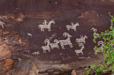
Ute Indian petroglyph panel near Wolfe Ranch in Arches National Park.
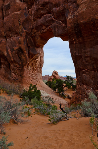
Early on the 19th we got up to enjoy a great hike near the campground through an area called the Devil's Garden. On that hike there are at least 10 major arches. This is one of the first called Pine Tree Arch.
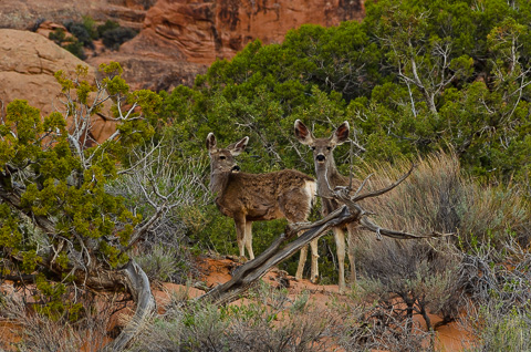
Very tame deer along the trail.
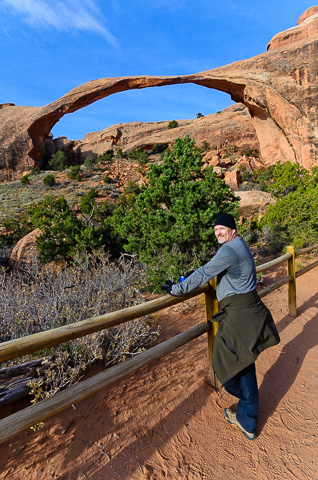
Mike in front of one of the most famous arches in Arches National Park, Landscape Arch.
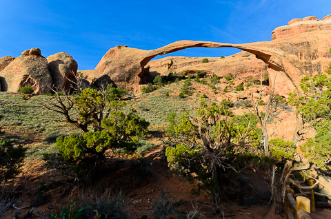
Another view of spectacular Landscape Arch.
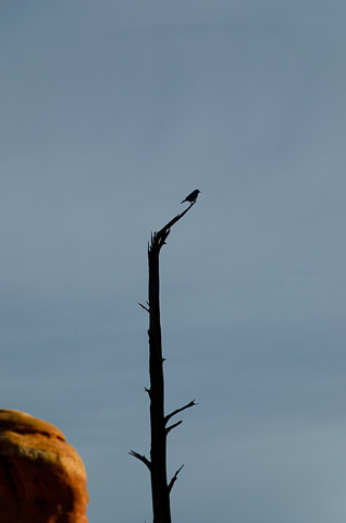
One of our favorite desert southwest birds, the Canyon Wren.
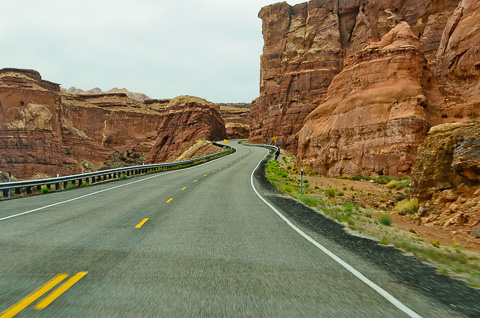
After leaving Arches National Park we headed south through Moab and down to Blanding, Utah where we turned east to start making our way back home. As before, we decided to take the road less traveled and take in the sites along the way. For a map of the next leg of trip, click here.
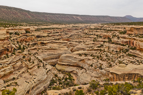
About an hour after leaving Blanding we pulled off to visit Natural Bridges National Monument, Utah's first National Monument. We didn't spend a lot of time there, but we did drive the scenic loop and take a couple of short side hikes. It was a very enjoyable visit.
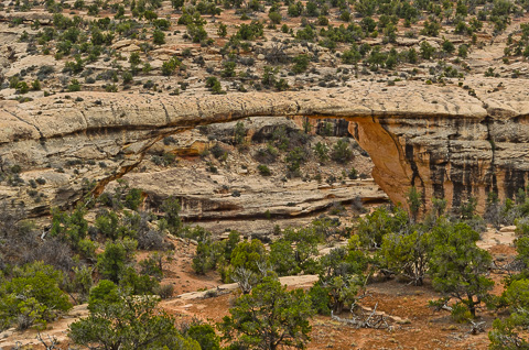
Owachomo Bridge in Natural Bridges National Monument.
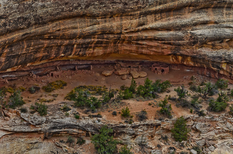
Horse Collar Ruin in Natural Bridges National Monument.
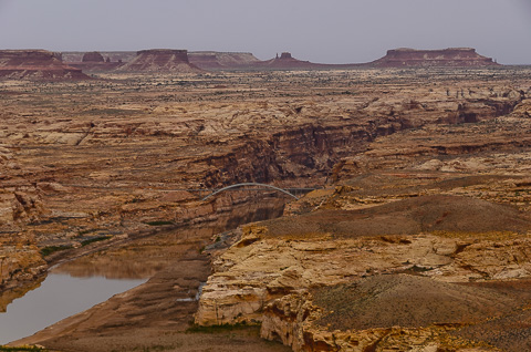
The Hite Crossing Bridge as it spans the Colorado very near to where Lake Powell begins.
After leaving Natural Bridges we headed west to Hite to cross the Colorado River, go back up the Burr Trail, through the town of Boulder, and on to the town of Escalante where we planned to stay that night. Click here for a map of this leg of the trip
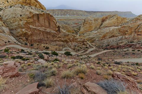
The Burr Trail Switchbacks where we were just four days before.
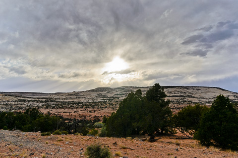
The distance from Arches National Park to the town of Escalante is only about 350 miles, but by taking the scenic route, going on hikes, and making multiple stops along the way it took us about 10 hours. The upside is we got to see this great Grand Staircase-Escalante sunset before making it to the town of Escalante.
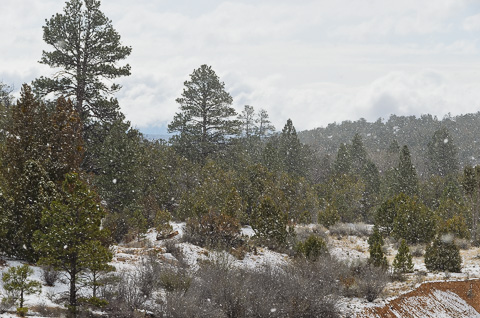
The next morning (April 20) after leaving Escalante on our way to Bryce Canyon National Park we ran into a late spring snow storm. Both of us were glad we didn't have any more canyoneering plans.
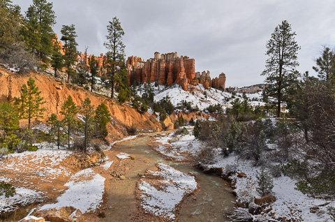
The "red" of Bryce is especially brilliant and the snow made it stand out even more.
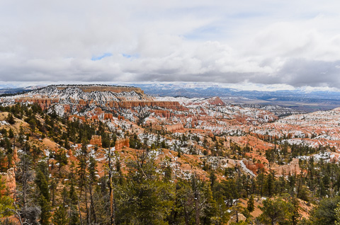
Looking out over the Bryce Canyon escarpments to the east and the snow storm we had just driven though.
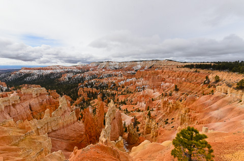
The view from Sunrise Point looking to the south.
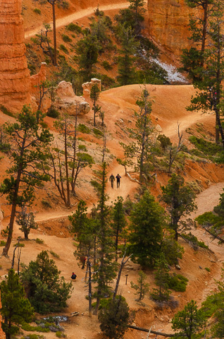
Hikers on the Queens Garden Trail.

A panorama taken just past Sunset Point.
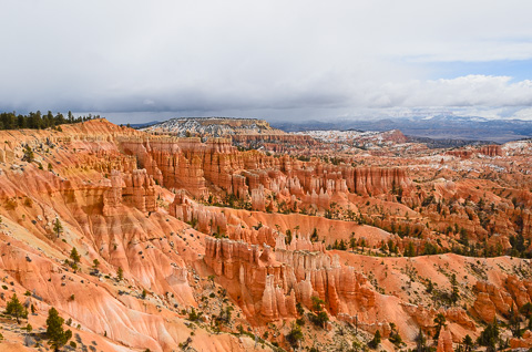
Looking back to the northeast and the spring storm in the distance.
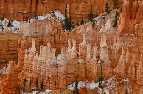
The Hoodoos of Bryce Canyon.
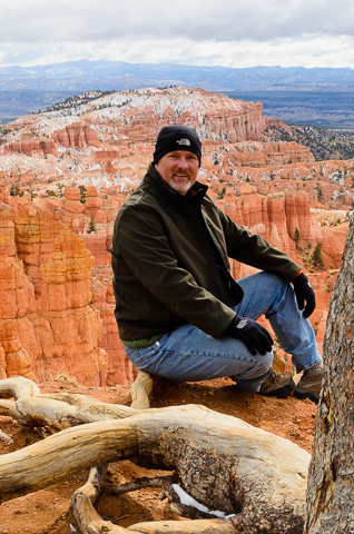
Our very good friend, Mike Brunson.
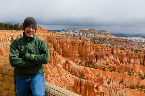
Bob in Bryce near the end of a very great week.
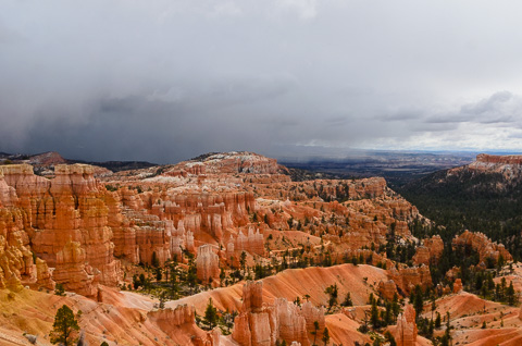
Our last views of Bryce Canyon as another squall rolls in.
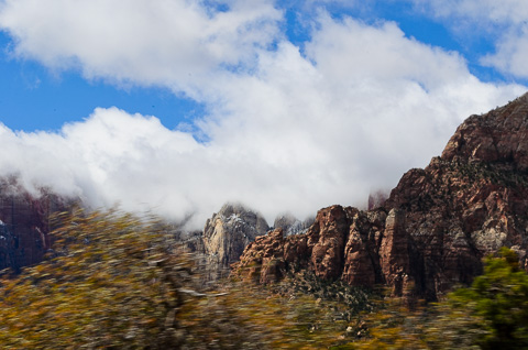
After a great visit in Bryce we continued making our way back to Zion National Park where we had been only six days before. It was stormy most of the way, but was starting to break up. I caught this picture just as we were exiting the Zion-Mount Carmel Tunnel as the sun was just starting to come out.
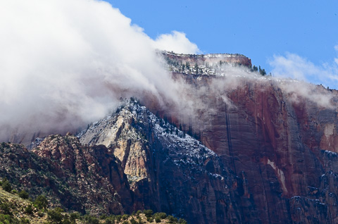
The clouds were burning off quickly as seen in this picture of the West Temple near the South Entrance of Zion.
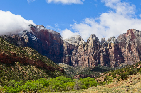
Our last look at Zion's amazing West Temple and Altar of Sacrifice before leaving the park.
Although it was time to come to terms with the fact that our adventure was coming to an end, we had one more stop to make before heading back to civilization by stopping in and seeing our good friend Bruce Barton and his wife Denise.
Bruce and Denise had moved to New Harmony, Utah (near the West Entrance/Kolob Canyons section of Zion National Park) a few years back, and up until now we really hadn't had much of a chance to see them. We had a great time catching up, talking about past adventures (including another trip through Mystery Canyon that Bruce was on), and sharing our recent adventure with them.
They fed us well, put us up for the night, and then sent us off the next morning (April 21) for our trip back to Las Vegas where, after cleaning up a bit, Mike dropped me off at the airport to fly back home to my wonderful family.
Bottom line, everything changes, but good friends last a lifetime. This trip was a great reminder of that.
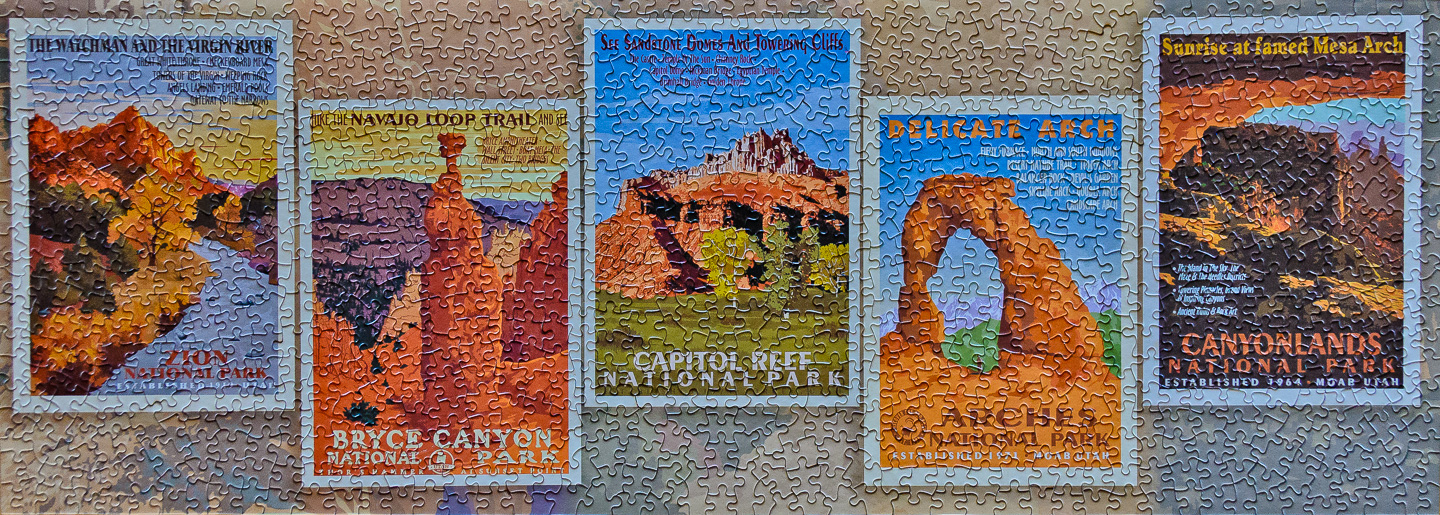
Postscript puzzel of our whirlwind trip.