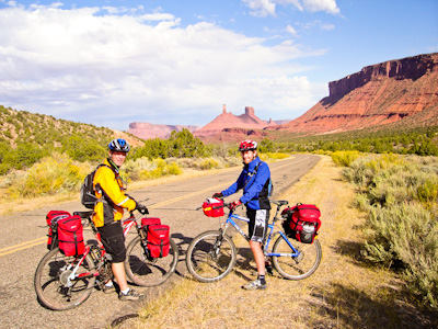
On our last day we all rode together down the Castleton Road to our friend's Bed and Breakfast to jettison touring gear and go back up the Sand Flats road to bike the Porcupine Rim trail together. This is a picture of Bob and Len with Castleton Tower, and the Priest and Nuns formations behind them.
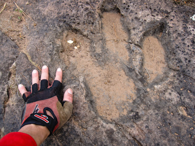
Soon after we left the La Sal Hut we stopped to check out the dinosaur tracks that are right along the main road where it turns from gravel to pavement.
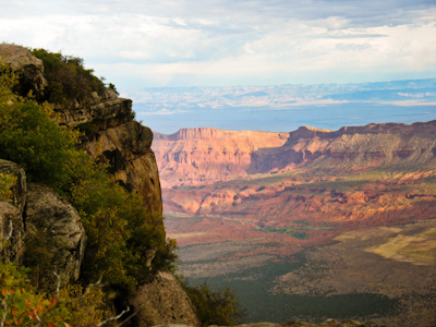
Another view from the rim rocks of Fisher Mesa to Fisher Valley below.
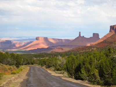
Looking south down Castle Valley to Parriott Mesa, Castleton Tower, and the Priest and Nuns formations.
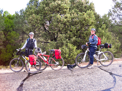
Myself and Kim Kelsey.
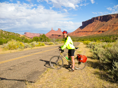
Brian's smile says it all!
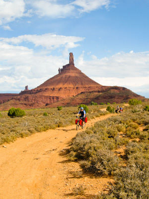
On our way to Jim and Mari’s Bed and Breakfast I took everyone on an alternate cross country route that I'd found on a previous trip.
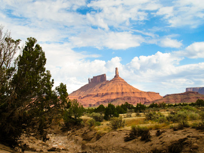
The view we had of Castleton Tower, and the Priest and Nuns from our cross country route through Castle Valley.
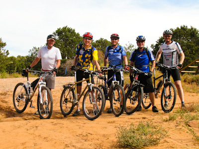
The five of us who still wanted to do more riding at the beginning of the Porcupine Rim trail: Kim, Brian, Len, Bob Weston, and Bob Potts.
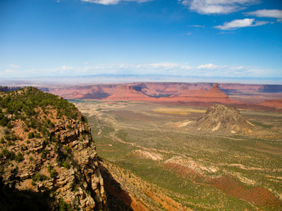
The view of Castle Valley from the Porcupine Rim trail. The volcanic plug in the middle of the valley is called Round Mountain.
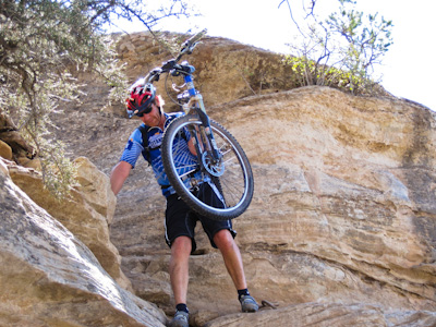
Len "down climbing" his bike through V-notch.
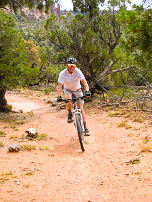
Kim Kelsey enjoying the this classic ride.
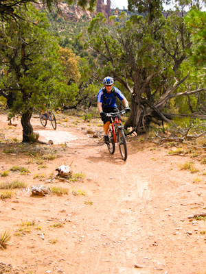
Bob Weston
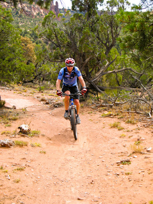
Len Clarkson
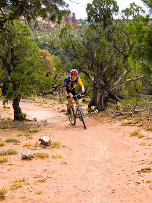
Brian Zehr
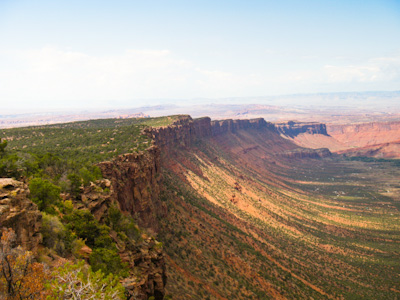
Another view of the full length of the Porcupine Rim.
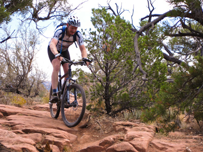
Bob Weston took this picture of me really enjoying the downhill without all the gear we'd been schlepping the last week.
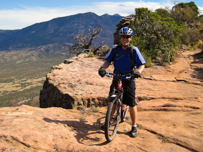
A very smiley Bob Weston on his first technical Moab ride.

Kim with Castleton tower behind.
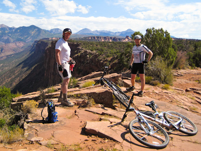
Taking a break.
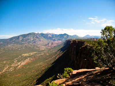
Looking up Castle Valley to the La Sal mountains.
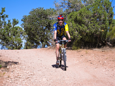
They don't have riding like this in Indiana (or a lot of other places as well).
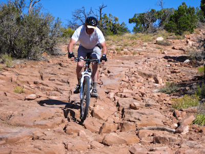
Kim bouncing through the broken stuff.
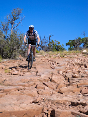
With myself on his tail.
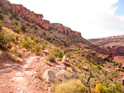
Most of the riding on the Porcupine Rim trail is on double track Jeep trail until about 3 miles from the end where it becomes true single track. This is part of that section with Jackass Canyon on the right.
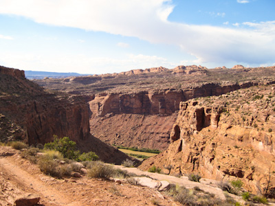
Looking down Jackass Canyon to Highway 128 and the Colorado River.
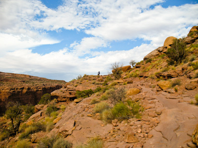
Bob Weston skylined near where the trail turns west and drops down to Highway 128.
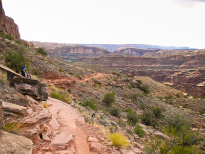
The last section of the Porcupine Rim trail. It was near this section of the trail that I took a pretty good ride over my handlebars. Interesting how I'd ridden well over 200 miles and had my first real wreck within a couple of miles of loading my bike up and driving back home.
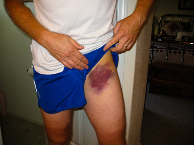
The "souvenir" from my wreck.
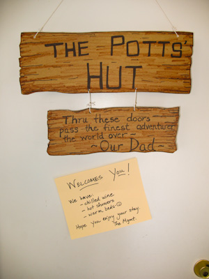
The sign on our garage door that welcomed me when I got back home.